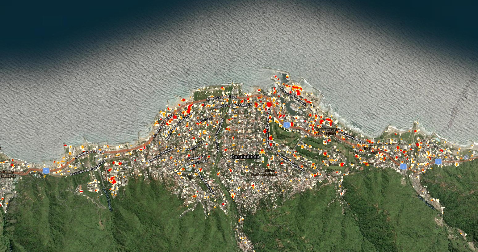
Estimate made with satellite images shows possible damage mainly on the central coast and in the Caracas region. Agency emphasizes that the data are preliminary.
The analysis has not yet been compared with on-site inspections or detailed records made by emergency teams. NASA A preliminary analysis by researchers at Oregon State University, in the United States, estimates that about 58,900 buildings may have been damaged or destroyed by the strong earthquakes that hit Venezuela last Wednesday (24). The survey was produced with satellite images captured after the tremors and points to the areas where there is a greater possibility of damage (see ABOVE). 📱Favorite g1 on Google and follow the main news of the day The earthquakes occurred in northern Venezuela, near the cities of San Felipe and Yumare. The first tremor had a magnitude of 7.2 and was followed by another, with a magnitude of 7.5. The tremors were also felt strongly on the central coast and in the Caracas metropolitan region. 📱Download the g1 app to see
Source: g1.globo.com






Sign in to comment on this article.
No approved comments yet.