Meteorologist points to a 'turn' in Paraná's weather over the weekend
Paraná recorded negative temperatures this Friday (26) for the third day in a row, according to the state's System of Technology and Environmental Monitoring (Simepar): in General Carneiro, in the south, thermometers reached -2.4ºC. On Wednesday (24) the minimum was -3ºC and on Thursday (25), -4.8ºC.
For the weekend, the forecast is for the weather to "turn," and for frosts to be replaced by rain in a good part of the Paraná territory.
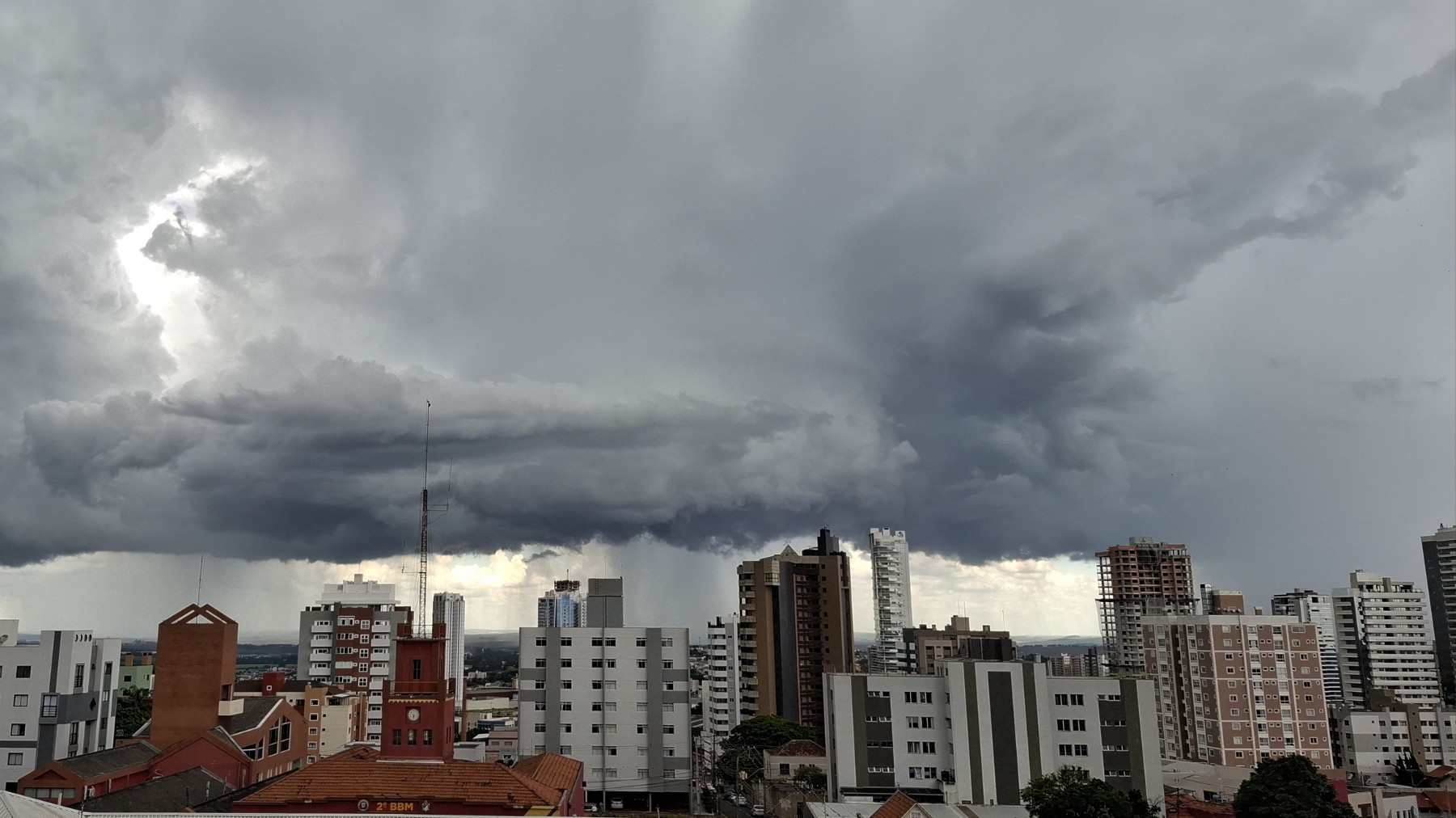
The reason, meteorologists explain, is a low-pressure system followed by an extratropical cyclone that is forming off the coast of Uruguay. Although it does not pass through Paraná, it ends up favoring the intensification of a cold front - and this one, indeed, should advance through the state, causing storms, explains meteorologist Samuel Braun.
So much so that the National Institute of Meteorology (Inmet) has already issued a storm alert for the state. Initially, it warns of the potential danger of heavy rains and intense winds, of up to 60 km/h, in 289 cities in the central region and the western half of Paraná. See which ones they are below.
✅ Follow the g1 Ponta Grossa and region channel on WhatsApp
"The trend for this Friday (26) is for us to have an environment with a lot of cloudiness in most of the state. The sun appears in the afternoon, but in general, especially in the northwest, north, and also in the east, the cloudiness will remain quite variable throughout the day. In the northwest and north, there is a possibility of some very fleeting, very isolated rain, especially in the afternoon. In the west and southwest, the sun predominates throughout the afternoon," explains Braun.
Forecast for this Friday (26)
Reproduction/Simepar
The meteorologist explains that on Saturday (27) the instability spreads across the state and rain may fall at any time in the western half. In the other regions, cloudiness also remains very present and occasional rain cannot be ruled out. The dawn should still be cold, with minimums below 10ºC, but the maximums should be higher.
Forecast for this Saturday (27)
Reproduction/Simepar
For Sunday (28), the forecast is for more storms, especially in the south-central and western half of Paraná.
"In these sectors, there is a risk of heavy rain, strong wind, and lightning. From the north to the east, the possibility of rain on Sunday is quite low, and temperatures remain a little higher. On Monday (28), the cold front spreads across the State and the rain also gains strength in the other sectors."
Forecast for this Sunday (28)
Reproduction/Simepar
Read also:
Participated in session right after leaving jail: Councilman is arrested again, two days after being released, for crimes against his ex
Accident: Public servant dies after crashing motorcycle into a truck stopped in the middle of the highway
Mega-Sena: Seven bets from Paraná match 5 numbers and are awarded
Cities under storm alert in Paraná
Cities under storm alert in Paraná
Reproduction/Inmet
See below the list of Paraná cities that are under an Inmet storm alert this Saturday (27). According to the agency, the rains can accumulate up to 30 mm per hour or up to 50 mm per day, and the day may record winds of up to 60 km/h and hail.
[List of cities remains unchanged as they are proper nouns]
VIDEOS: Most watched on g1 Paraná:
Read more news on g1 Paraná
Paraná has negative temperatures for the 3rd day in a row and receives a storm alert for 289 cities; see which ones and the weather forecast
Meteorologist points to a 'turn' in Paraná's weather over the weekend. Paraná recorded negative temperatures this Friday (26) for the third day in a row, according to the state's System of Technology and Environmental Monitoring (Simepar): in...




Sign in to comment on this article.
No approved comments yet.