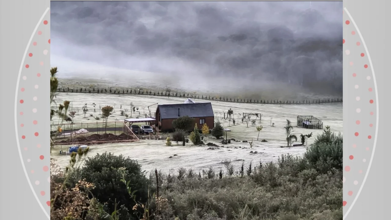
Winter will have longer nights Winter began at 5:24 AM this Sunday (21) in the Southern Hemisphere. The season is usually the coldest and driest time of the year in Paraná; however, in 2026, it will have above-average rainfall volumes and slightly above-average temperatures.
This is what the Paraná Environmental Monitoring and Technology System (Simepar) points out. ✅ Follow the g1 Ponta Grossa and region channel on WhatsApp According to meteorologist Leonardo Furlan, polar air masses originating from Antarctica and southern South America will favor sharp temperature drops and the occurrence of frost in Paraná, especially in the South, South-Central, Southwest, Campos Gerais, and Curitiba Metropolitan Area regions. ❄️ Frost: What is it and what are the conditions necessary for the phenomenon to form? However, episodes of "veranicos" (extended warm spells) are also forecasted, especially in August, when periods characterized by dry weather and high temperatures for the time of year are expected.
So far, the coldest temperature recorded this year in the state was -2.4ºC on May 11 in Guarapuava, in the central region of Paraná - where the wind chill reached -7.5ºC. On this first day of winter, the lowest temperature was 4.2ºC in Palotina, in the west.
According to Simepar, throughout Sunday (21) the sun will predominate and temperatures will rise, with highs near 20ºC in most regions. In the northwest and west, winds will intensify starting in the afternoon, and gusts may exceed 40 km/h in some cities, meteorologists point out.
See the weather forecast on the map below. Weather forecast for this Sunday (21) Reproduction/Simepar Also read: Lotteries: Two bets from Paraná match 5 numbers and win prizes in Mega-Sena Innocent person imprisoned by mistake: Video shows armed police officers entering the house while family was sleeping Civil Defense 'misanthropy' alert: Paraná government says conduct qualifies as a terrorist act Guarapuava recorded frosts and negative temperatures in May 2026 Eduardo Andrade/RPC El Niño in Paraná Simepar highlights that in 2026 winter will be influenced by El Niño, a large-scale meteorological phenomenon. The United States National Oceanic and Atmospheric Administration (NOAA) confirmed this month that El Niño conditions are already present in the equatorial Pacific Ocean.
Data recorded by NOAA show that sea surface temperature has been above 0.5°C since May, and forecasts indicate this temperature will continue to rise. In addition to the surface, warming is also occurring in the first 200 meters of depth.
The phenomenon will gradually intensify and peak between the 2026/2027 Southern Hemisphere spring and summer, according to Simepar. "The ocean and atmosphere function as a coupled system. When trade winds weaken, warm Pacific waters move toward the western coast of South America.
This warming alters atmospheric circulation and modifies rain and storm patterns in various parts of the planet. El Niño will increase the frequency of rainfall and frontal systems in Paraná, cause a lower temperature range, more fog occurrences, and less generalized frosts", the agency details. Consequently, the forecast for the 2026 winter is that the temperature range will decrease throughout July, the cold will ease through August, and temperatures will remain slightly above average at the end of the season in September.
Rainfall will remain above the historical average throughout the period, with growing volumes extending into spring, Simepar concludes. El Niño can cause severe storms in Paraná: Understand the phenomenon and see what meteorologists say Most watched videos from g1 Paraná: Read more news in g1 Paraná.





Sign in to comment on this article.
No approved comments yet.